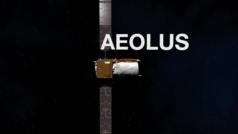
Taking meteorological observation to a new level with Aeolus
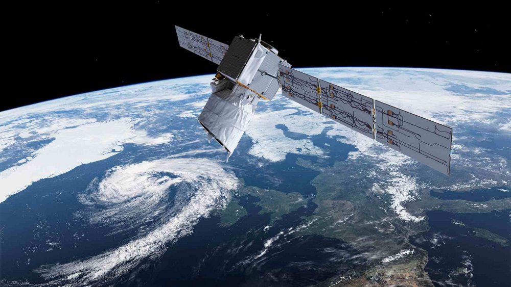
The Airbus-built Aeolus is Europe’s wind sensing satellite and the first spacecraft capable of performing global wind-component profile observations – daily, and close to real-time.
Aeolus provides reliable wind-profile information on a global scale. Such data are needed by meteorologists to continuously improve the accuracy of weather forecasts, and helps climatologists better understand the dynamics of Earth’s atmosphere.
Appropriately named after the Greek god and keeper of the winds, Aeolus is a key part of the European Space Agency’s Earth Explorer programme. It is the world’s first satellite to study the Earth’s wind patterns from space to improve weather forecasting.
The first mission for detailed wind observations
Aeolus directly observes wind profiles across the planet and provides data that could result in breakthroughs for weather prediction and climate studies, advancing the understanding of tropical dynamics and processes that are relevant to climate variability and climate modelling. While Aeolus is the first such mission, there likely will be similar operational meteorological satellites in the future – and this Airbus innovation is the forerunner of such programmes.
Aeolus orbits the Earth 15 times a day, delivering data every two hours in each orbit. The orbit repeat cycle is seven days, and the spacecraft will have a lifetime of three years. Over this period, Aeolus will orbit the Earth more than 17,500 times.
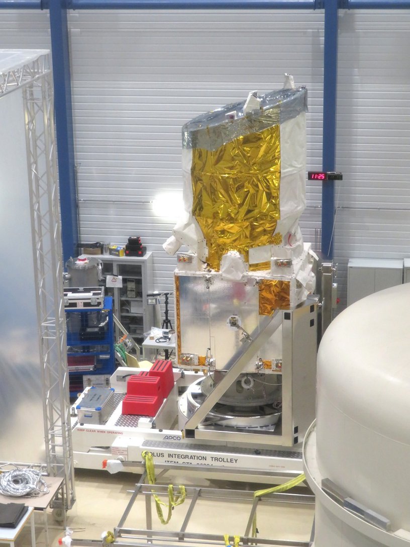
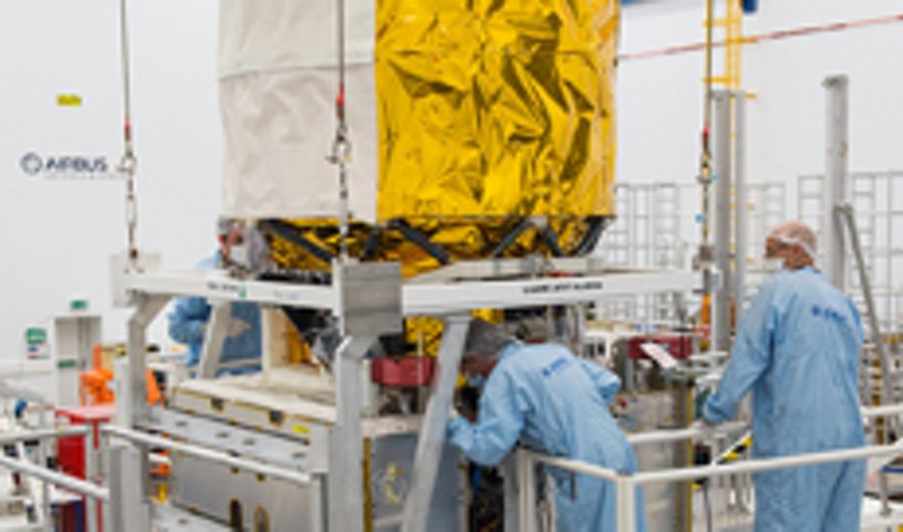
The satellite was successfully launched from Kourou, French Guiana in August 2018, by Arianespace – a subsidiary of ArianeGroup, a joint venture between Airbus and Safran.
A “laser sharp” instrument onboard Aeolus

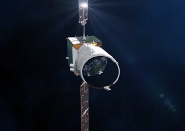
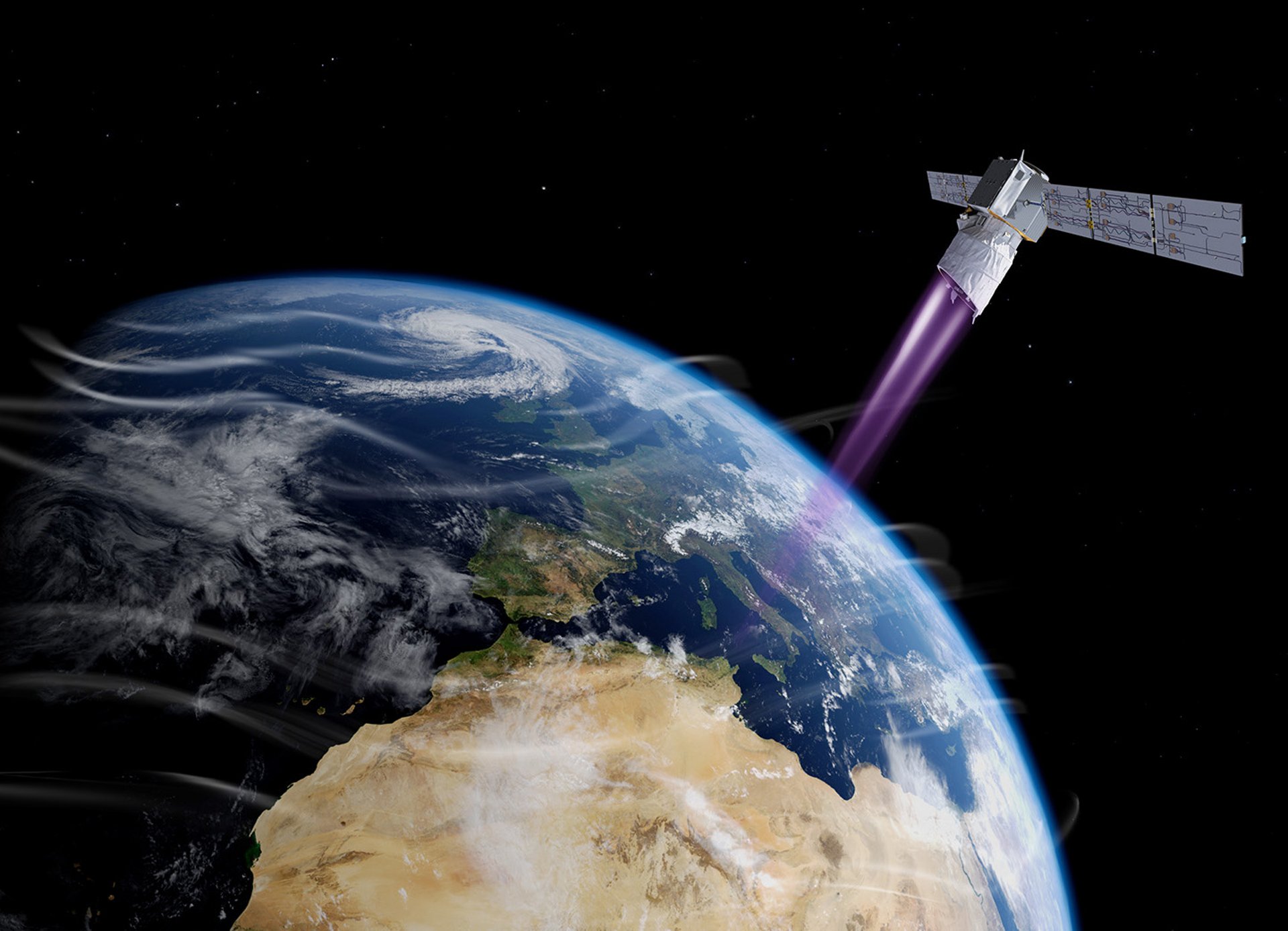
The spacecraft features a lidar (light detection and ranging) instrument called Aladin (the Atmospheric LAser Doppler Instrument) that was designed and built by Airbus. Using the Doppler effect to determine the wind speed at varying altitudes, Aladin is the first space-borne wind lidar offering coverage of the entire planet. It creates a wind profile that shows the strength and direction of winds at different altitudes, improving wind observation and the accuracy of weather forecasts across the planet.
Taking measurements every 0.01 seconds and averaging them over seven-second periods, Aladin allows accurate wind profiles to be obtained at altitudes up to 16 km – and with less accuracy up to 30 km.
The lidar fires a powerful ultraviolet laser pulse down through the atmosphere and collects backscattered light using a large 1.5m diameter telescope, which is then analysed on-board by highly sensitive receivers to determine the Doppler shift of the signal from layers at different heights in the atmosphere.