E.O.Stage.Image-V2_stage

Earth observation for climate action

Geospatial data to help fight climate change

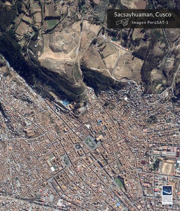
Over the past 50 years, remote sensing via satellites has yielded both spectacular views of our planet and unprecedented scientific insight. Today, Earth-observation satellites are at the forefront of monitoring deforestation, rising sea levels and greenhouse gas emissions in the atmosphere. At Airbus, we not only build many of these satellites but transform geospatial data into actionable insight to help fight climate change.

Satellites to monitor climate change

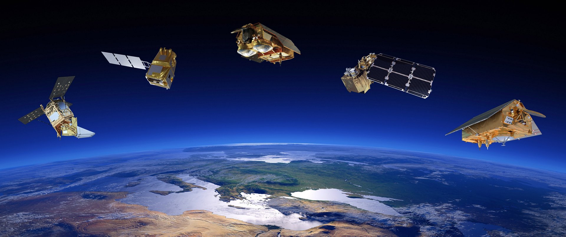
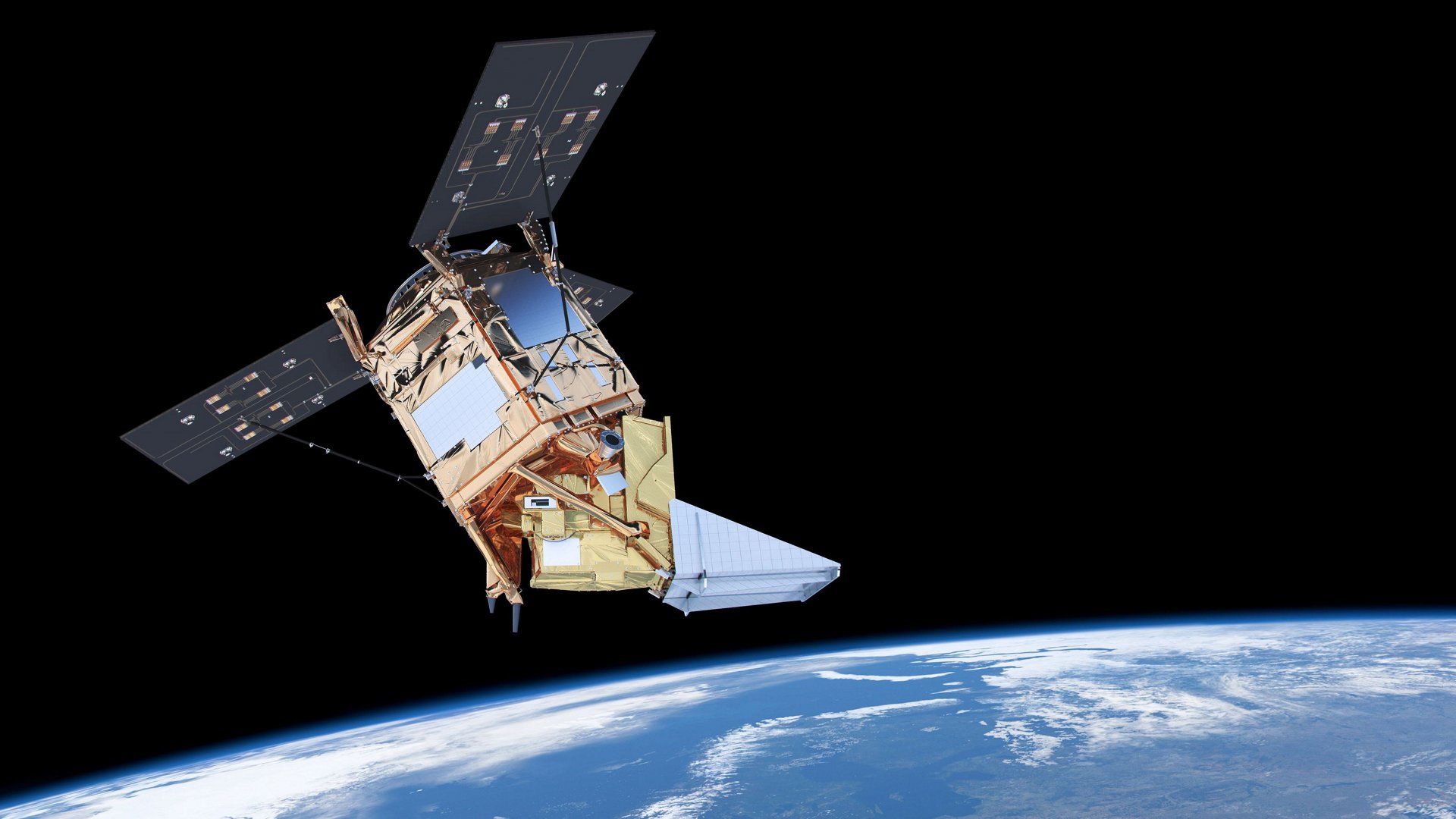
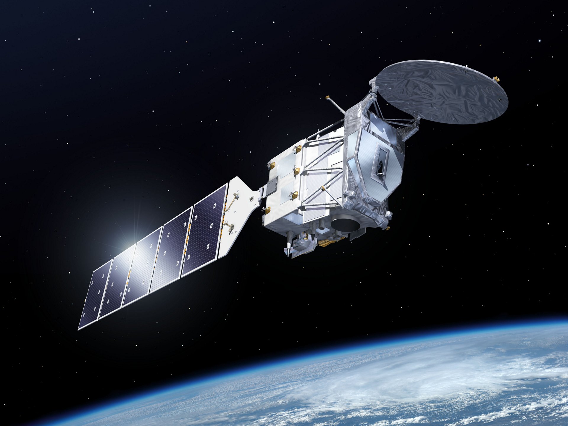
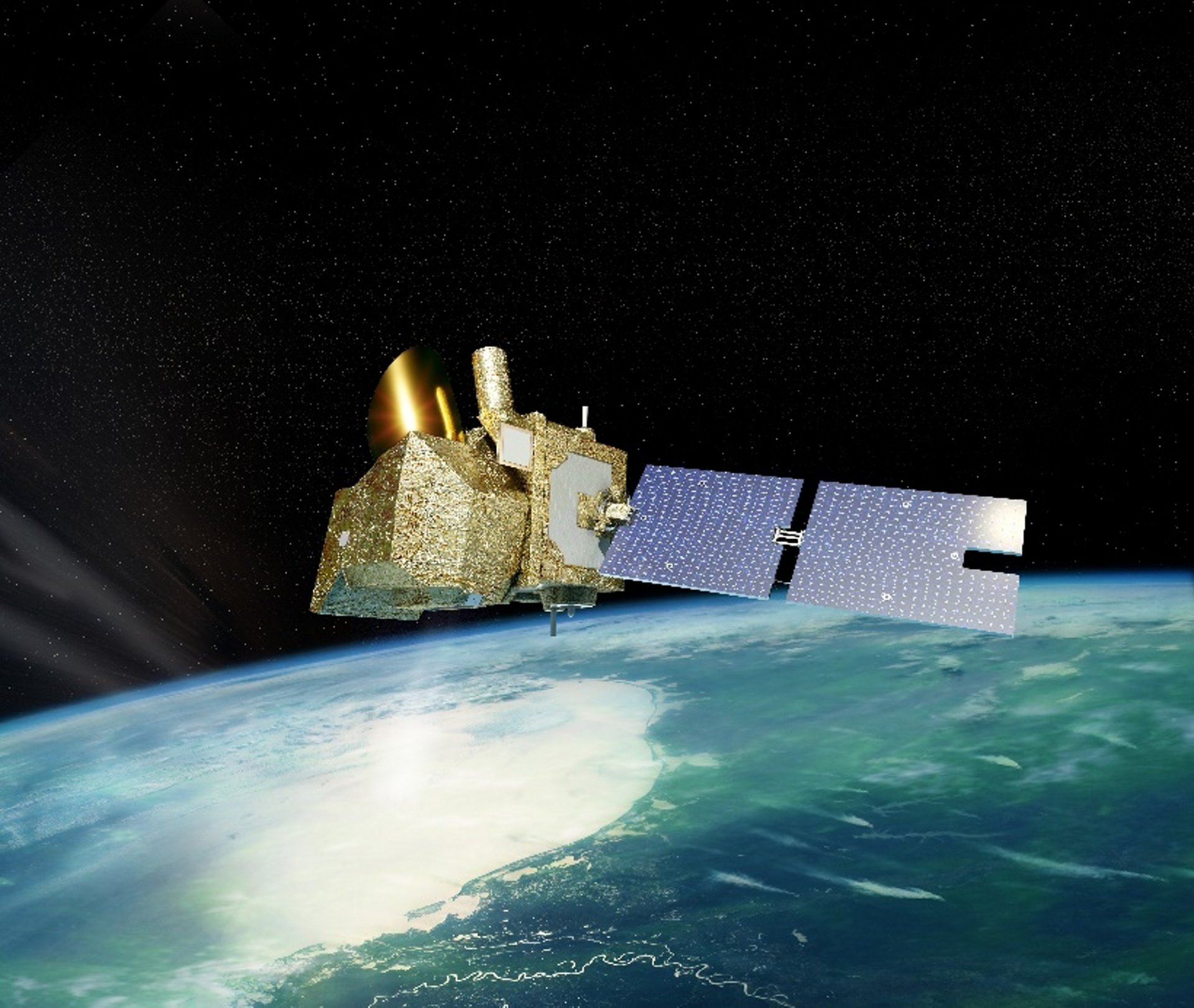
More than 150 Earth-observation satellites are currently in orbit. Their mission is to provide scientists with the essential data needed to detect environmental changes on Earth. Because many climate variables can only be measured from space, Earth-observation satellites are a vital tool to monitor the effects of climate change on natural ecosystems.

At Airbus, we have been managing data from the European Space Agency (ESA)’s Earth-observation satellites since the early 1990s. We are involved in all major environment-monitoring satellite programmes in Europe and play a key role in all the Copernicus missions.

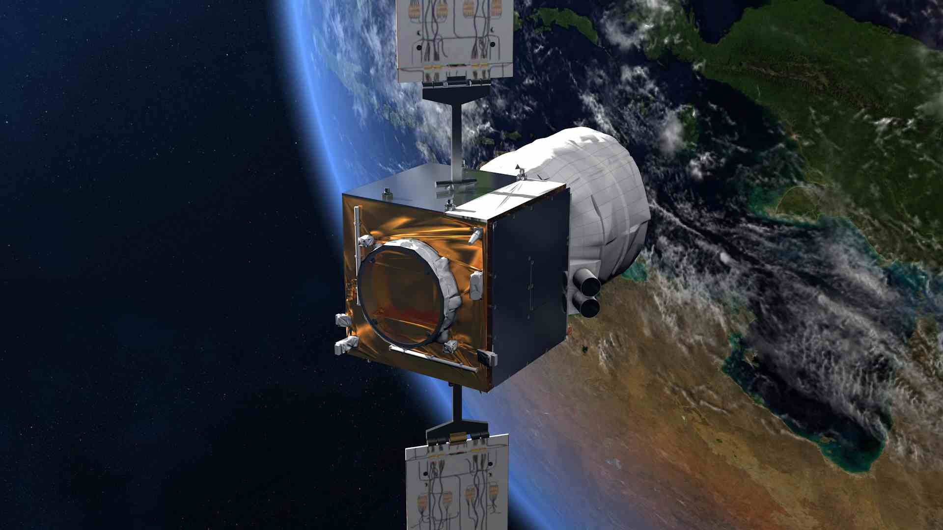
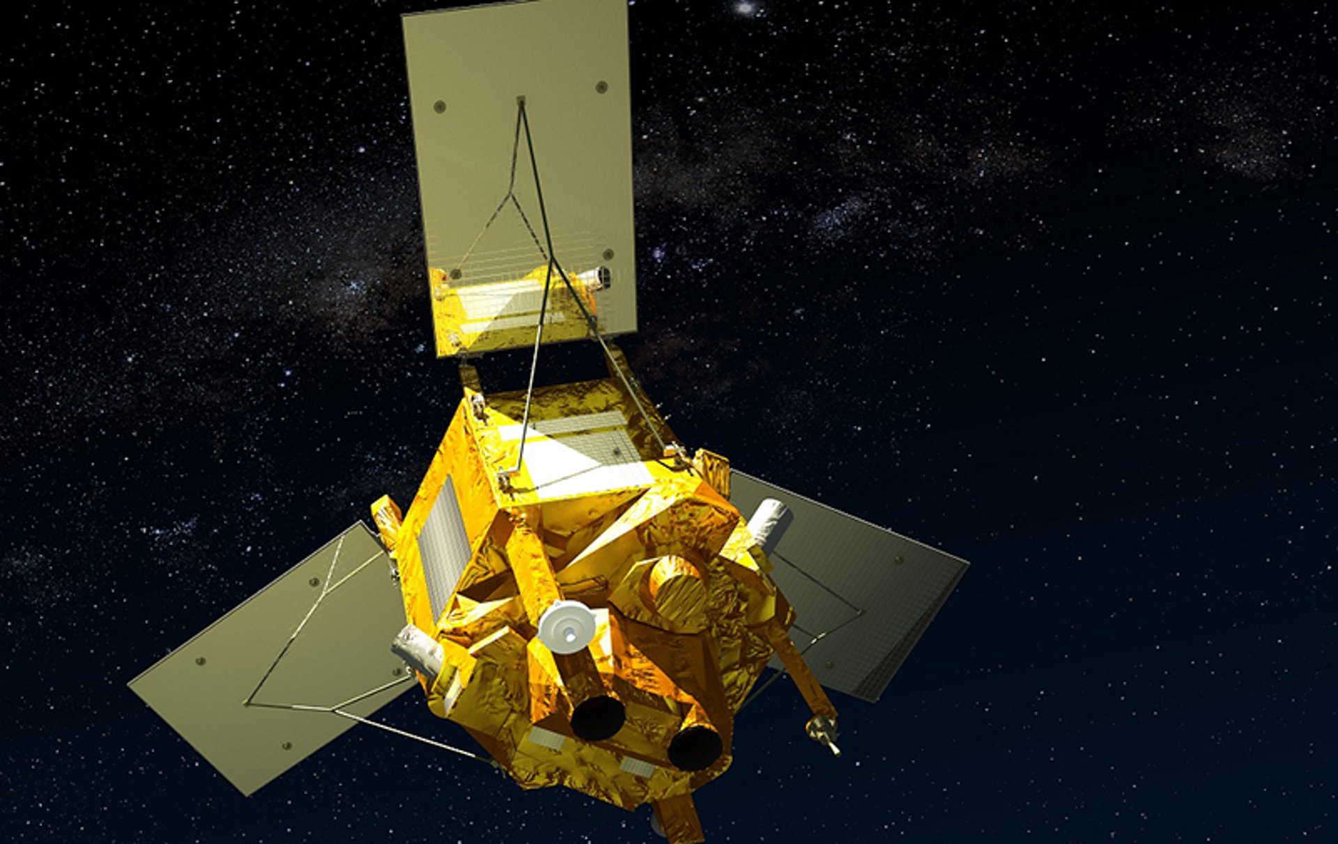
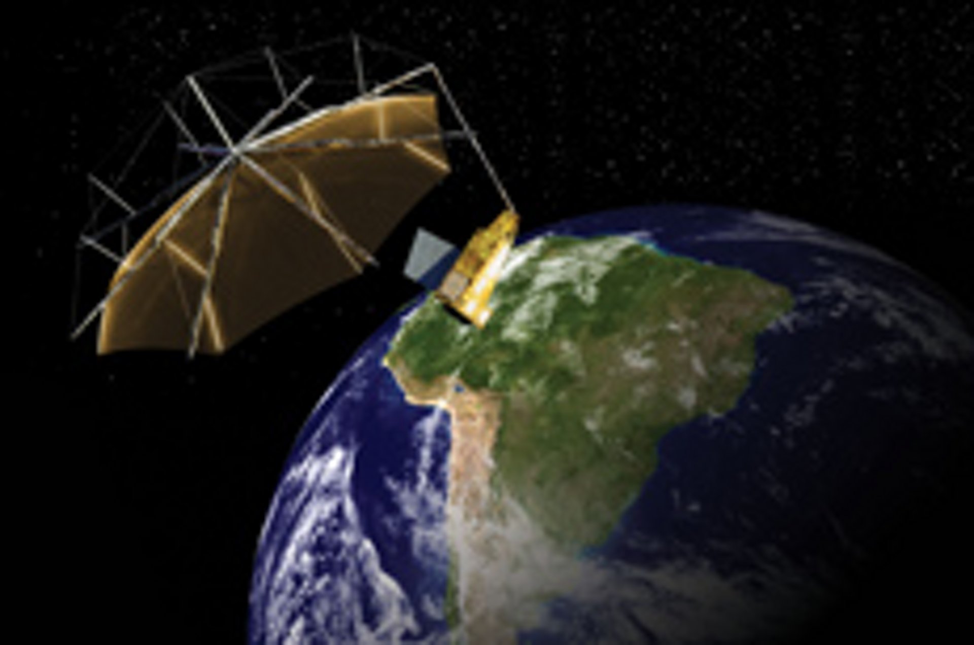
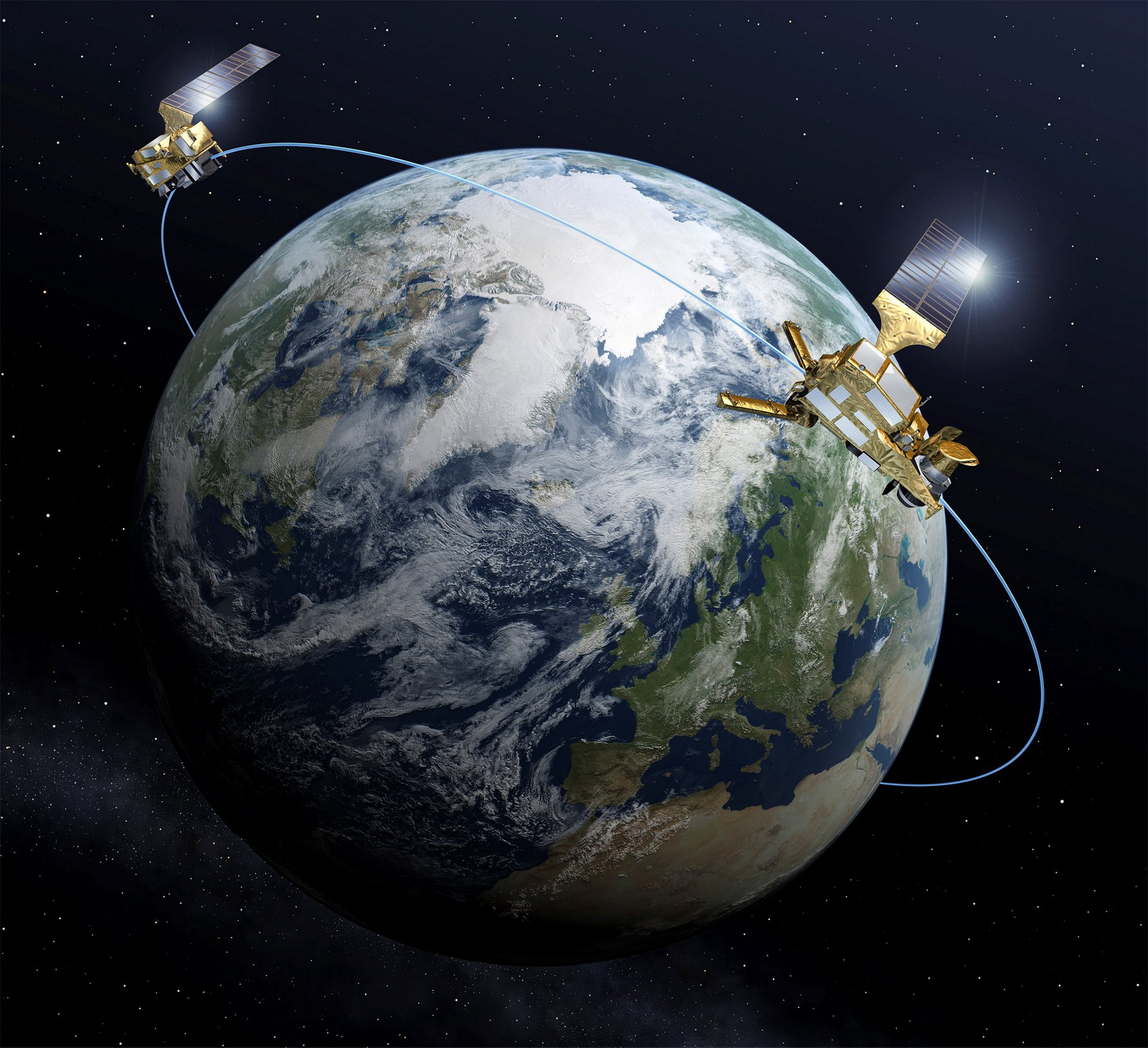
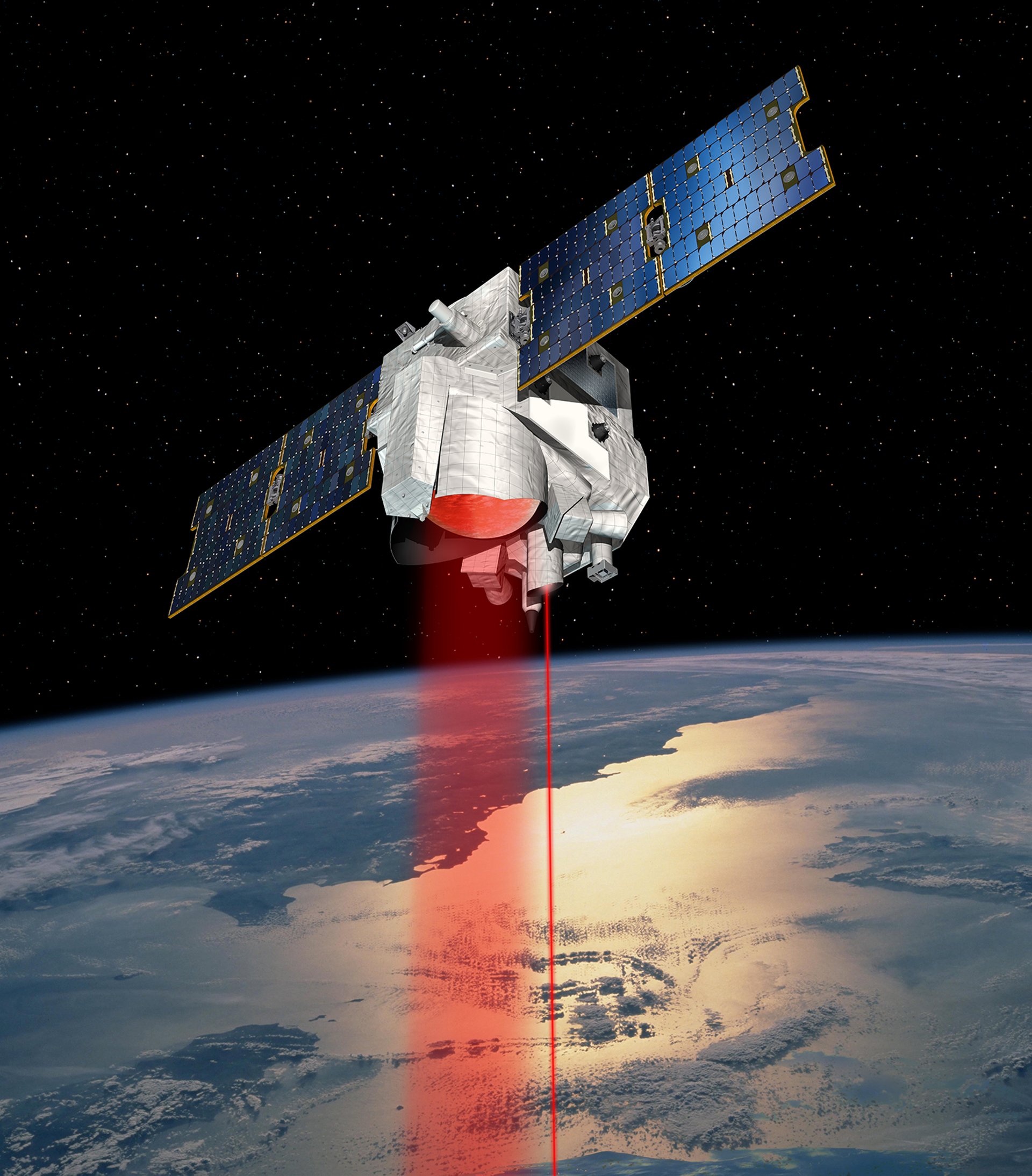
At any one time some 20 of our satellites are involved in climate change monitoring with an additional 20 in development. Our complete fleet of satellites measures the following aspects:

  • Land, forests and sea
  • Air quality, temperature and humidity 
  • Snow and ice coverage
  • Wind and clouds


This critical geospatial data enables us to:

  • Provide scientists with a better understanding of the Earth’s system and evolution
  • Help governments and humanitarian agencies prepare for and manage disasters
  • Generate environmental impact assessments for large industries

Earth-observation satellites on climate

Aeolus is the world’s first satellite to study the Earth’s wind patterns from space to improve weather forecasting accuracy. This unique mission provides reliable wind-profile information on a global scale to take meteorological forecast to the next step.

Aeolus

Equipped with a Doppler wind LIDAR, this satellite monitors the Earth’s wind patterns on a global scale. The observations are used to improve weather forecasting and climate models. It has been in orbit since 2018.

Biomass

Biomass

Currently in production, this satellite will monitor the carbon captured by trees. The spacecraft will carry the first space-borne P-band synthetic aperture radar to deliver exceptionally accurate maps of tropical, temperate and boreal forest biomass that are not obtainable by ground-measurement techniques.

Merlin

Merlin

This joint satellite programme (CNES and DLR) is set to study greenhouse gases and global warming. The satellite will use LIDAR to probe the atmosphere and determine the varying concentrations of methane. This gas, along with carbon dioxide, is one of the main contributors to the greenhouse effect.

Microcarb

MicroCarb

This satellite will launch the first European mission dedicated solely to measuring CO2 levels using a spectrometer at visible and near infra-red wavelengths. This mission will complement Merlin, which measures methane levels by LIDAR.

Read more

The Biomass satellite and disappearing ‘football fields’

en

PerúSAT-1: Five years serving Peru

en

A measure of the wind

en

Airbus completes integration of 3rd Copernicus Sentinel-2

en

ERS-1 launch: The Birth of European Earth Observation

en

30 years ago, the first European Earth observation satellite was launched into space

en

Discover Climate Action at Airbus

Decarbonisation

New energy ecosystem

Sustainable space

Back to top